 Polish Polar DataBase
Keyword
Digital elevation model
Type of resources
Available actions
Topics
Keywords
Contact for the resource
Provided by
Representation types
Update frequencies
status
From
1
-
1
/
1
-
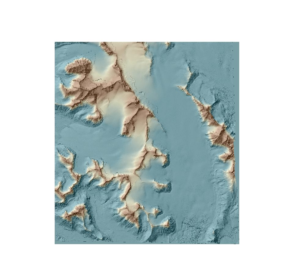
DEMs from WorldView-2 and Pléaides were extracted using the Rational Function Model (RFM). To improve images orientation, one ground control points (GCPs) was used for each stereo pair. Data format: grid (2m), UTM 33X / EGM 2008. DEMs were developed in OrthoEngine module of PCI Geomatica 2016 with the low level of detail and mountainous type of relief.